The Jones Road Wildfire in New Jersey was large enough to be seen from space, and the National Oceanic and Atmospheric Administration (NOAA) shared the satellite video on social media on Wednesday.
Why It Matters
The scale and speed of the Jones Road fire triggered widespread evacuations, road closures and power outages, impacting thousands of New Jersey residents. Environmental Commissioner Shawn LaTourette warned during a Wednesday morning press conference that the blaze “could very well end up being the largest wildfire in New Jersey in 20 years,” citing dry conditions and unpredictable winds.
A state of emergency was declared for Ocean County early Wednesday by Acting Governor Tahesha Way, with more than 5,000 people temporarily evacuated and more than 25,000 residents losing power. Evacuation orders have since been lifted.
What to Know
As of the most recent update from the New Jersey Forest Fire Service, the fire has grown to 12,500 acres and was 40 percent contained. Officials estimated that it would surpass 15,000 acres before full containment was reached.
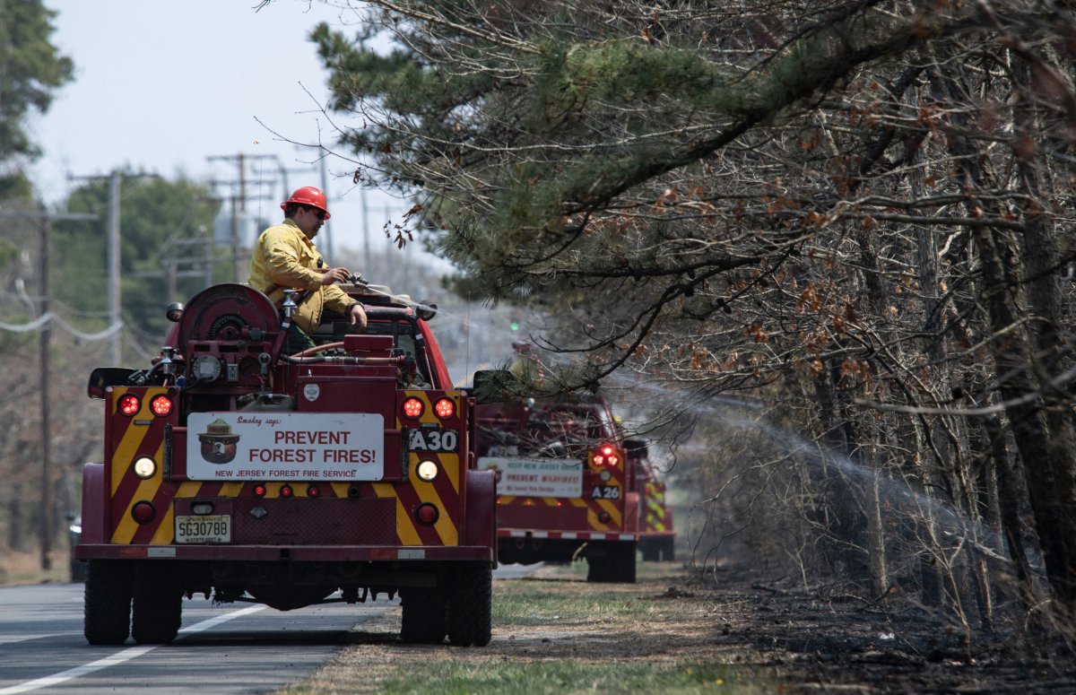
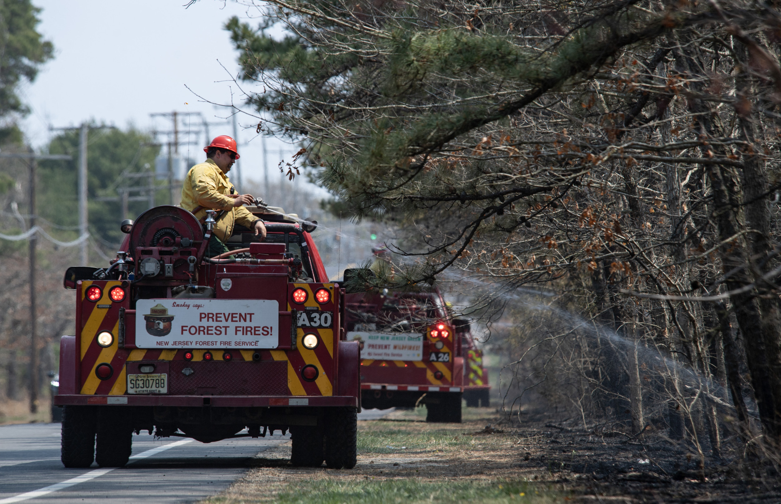
Matthew Hatcher/Getty
NOAA shared satellite video of the fire on Wednesday. The video was taken on Tuesday utilizing NOAA’s GOES East, a geostationary satellite.
“Yesterday, @NOAA’s #GOESEast monitored the rapidly growing #JonesRoadFire in Ocean County, NJ,” the post said. “The satellite is able to detect the fire’s intense heat signature and track the large smoke plume. According to @NJDepForestFire, the blaze has consumed 11,500 acres, and prompted evacuations of the area.”
In the video, the smoke was pushing east, toward the state’s coast. Air quality alerts were issued across the Atlantic City region on Wednesday because of the smoke.
AccuWeather senior meteorologist Carl Erickson told Newsweek that the smoke could continue to shift further north after sunset. There’s a chance the smoke could impact the New York City area.
Firefighters have implemented backfiring tactics—intentionally burning areas ahead of the main fire to remove fuel—and deployed fire engines, bulldozers, and ground crews.
What People Are Saying
New Jersey Forest Fire Service in a post on X: “An observational flight over the fire this afternoon confirmed burnout operations are improving and strengthening containment lines. Crews are currently mopping up hotspots and mitigating snags around the fire perimeter.”
CBS Meteorologist Grant Gilmore posted on X, “There is so much smoke/ash in the air that it’s showing up on the radar. The radar beam that is picking up on the smoke is nearly 2,000 ft above the ground. Meaning, that’s at least how high the smoke is.”
What Happens Next
The fire is still active, and officials continue to monitor it. Rain could fall across the area this weekend, which will improve air quality.