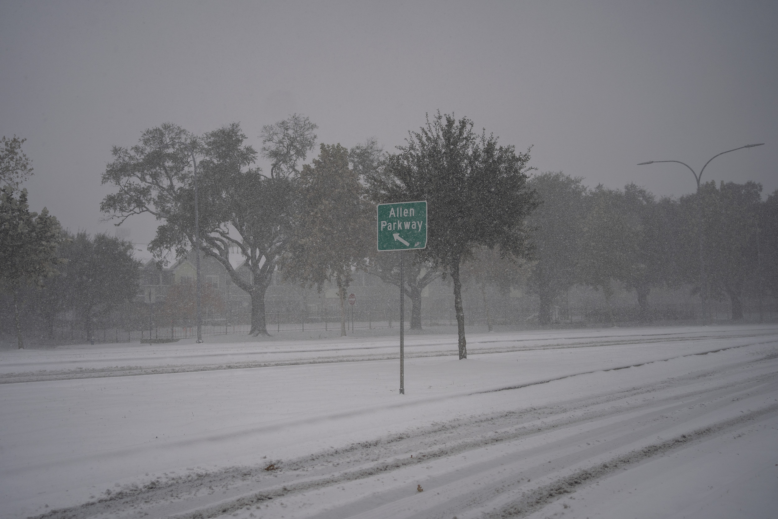
Houstonians woke up to the unusual sight of snowfall on Tuesday, and a chart shows just how uncommon snow is in the Texas city.
Why It Matters
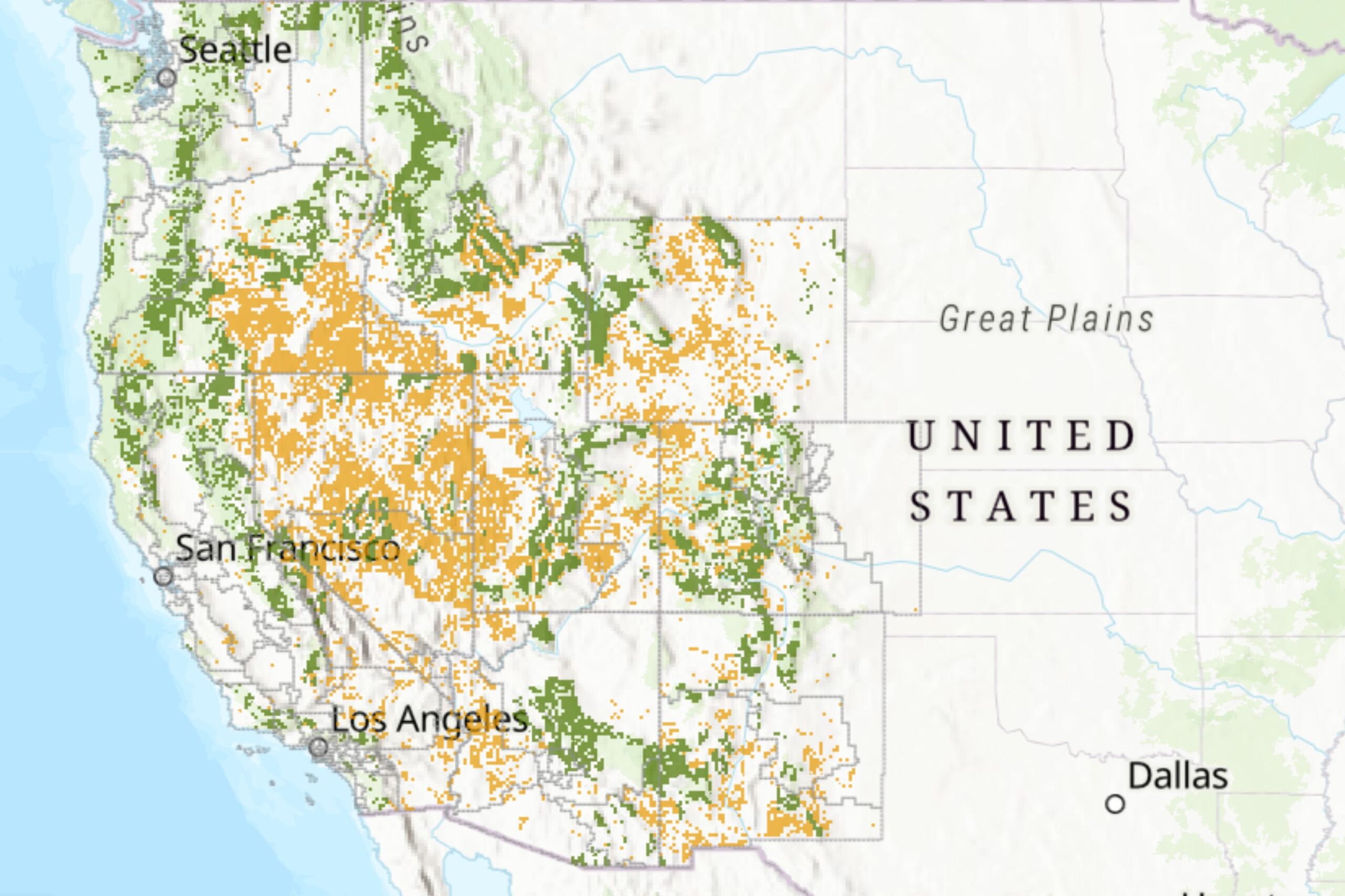
Houston is unaccustomed to freezing temperatures and snow accumulation, making the weather event particularly disruptive. The city’s infrastructure, including roads and power grids, is not designed for sustained winter conditions, increasing the risk of traffic accidents and power outages. A winter storm in 2021, which left millions of Texans without power, remains a stark reminder of the challenges Houston faces during extreme cold.
What To Know
The National Weather Service (NWS) has forecasted 4 to 6 inches of snow for parts of the Houston metro area, a rare event in the region’s climate history.
The chart below shows the city’s snowfall over the past five years with the most recent snowfall of one inch happening in 2021.
The historical average temperature for around this time of year in Houston is 53.7°F, but this year’s reading shows a staggering drop of 27.2°F, marking a 50.65 percent decrease. The NWS has also issued multiple warnings, including a Winter Storm Warning for snow and sleet with accumulations up to 4 inches, a Cold Weather Advisory for wind chills as low as 15°F and an Extreme Cold Watch for possible wind chills below 10°F in areas receiving heavier snow totals.
How Often Does It Snow in Houston, Texas?
While snow is a rare occurrence in Houston, historical records show it does happen on occasion. According to NWS data, Houston has recorded snowfall of more than an inch on 11 occasions since official records began in 1920.
The most significant snowfall occurred on February 14, 1895, when the city received a record-breaking 20 inches, according to Houston Public Media.
Other notable events include:
- January 22, 1940: 3 inches
- February 12, 1960: 3 inches
- December 10, 2008: 1.4 inches
- February 15, 2021: The most recent snowfall, which accompanied a devastating winter storm

Danielle Villasana/Getty Images
What People Are Saying
AccuWeather Meteorologist Bill Deger previously told Newsweek: “While parts of central Texas west to the Interstate 35 corridor around San Antonio and Austin have seen snow falling over the last 12 or so hours, the most significant accumulation is expected in southeastern and east-central Texas into Tuesday afternoon.
“This specifically includes the Interstate 10 corridor from Houston east to the Louisiana border, where 3-6 inches of snow is forecast by AccuWeather. Some of the counties expected to experience the heaviest snow in this area include Chambers, Galveston, Harris, Jasper, Jefferson, Liberty, Montgomery, Newton, Orange, Polk, San Jacinto and Tyler Counties.”
NWS Houston said on X (formerly Twitter): “Sleet & snow showers have developed across the area. Temperatures are also quickly falling below freezing with temperatures as low as 25°F north of the Houston Metro. Roads will become dangerous as the temperatures fall, so please don’t be on the roads unless you have to.”
What’s Next
The cold weather in Houston is expected to persist, with forecasts predicting overnight lows around 19°F. Temperatures will gradually rise over the next few days, with highs near 40°F on Wednesday and approaching 48°F by Thursday. Authorities continue to urge residents to take precautions, including avoiding unnecessary travel and protecting pipes from freezing.