🎙️ Voice is AI-generated. Inconsistencies may occur.
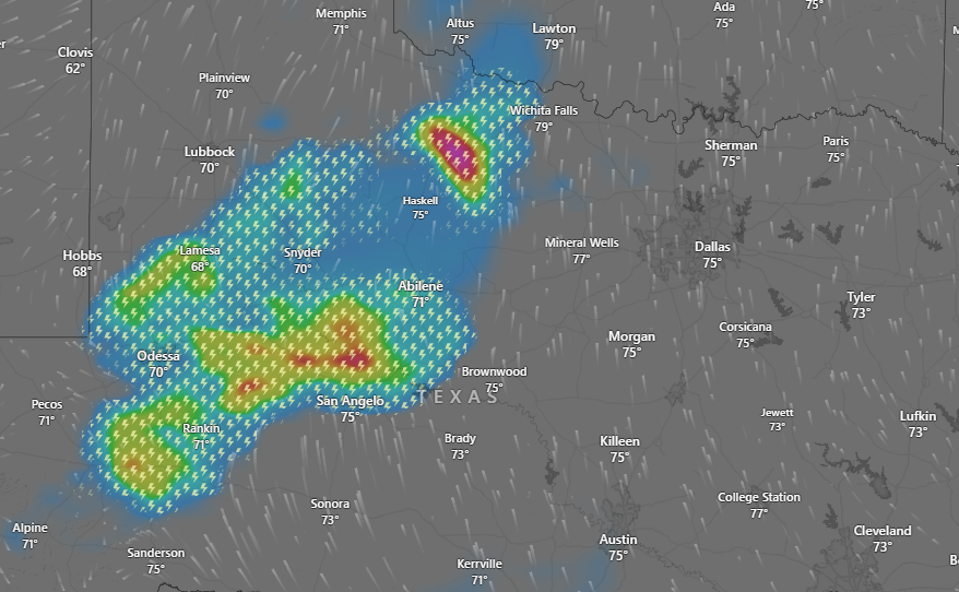
A dangerous thunderstorm is forecast to sweep across the Texas Panhandle early Tuesday morning, bringing with it golf ball-sized hail and wind gusts reaching 70 mph. The storm was tracked five miles east of Goodnight, approximately 13 miles northwest of Clarendon, moving northeast at a rapid 55 mph.
The National Weather Service issued a severe thunderstorm warning at 3:17 a.m. CDT, citing radar indications of large hail and high winds as the primary hazards. The agency urged residents in the storm’s path—including Howardwick, Lake McClellan, McLean, Lefors, Alanreed, Greenbelt Lake, and Goodnight—to seek shelter immediately in an interior room on the lowest floor of a sturdy building.
Why It Matters
The storm poses a significant threat to both life and property in the impacted regions. The National Weather Service warned that wind speeds of 70 mph are capable of causing structural damage to mobile homes, outbuildings, and rooftops, while the large hailstones could easily shatter windows and dent vehicles. Those caught outdoors face a heightened risk of injury due to flying debris and hail impacts.
What To Know
Meteorologists tracking the storm used radar to estimate the size of the hail and the intensity of the wind gusts. The storm’s northeast trajectory and high speed prompted swift alerts to ensure public safety in rural areas and near recreational lakes.
The affected areas include small communities and recreational areas in the Panhandle, with limited access to emergency infrastructure. Emergency officials have not yet reported injuries or property damage, but the severity of the storm could lead to significant insurance claims and cleanup efforts.
What People Are Saying
While no officials were immediately available for comment due to the early hour of the storm’s passage, social media users in Clarendon and Lefors reported intense winds and hail impacts around 3:30 a.m. CDT.
What’s Next
The National Weather Service continues to monitor the system as it progresses northeast. Additional watches and warnings may be issued as the storm moves through the region. Residents in the projected path are advised to remain alert and have access to weather updates via radio or mobile alert systems. Local emergency services are expected to conduct damage assessments later in the morning.


