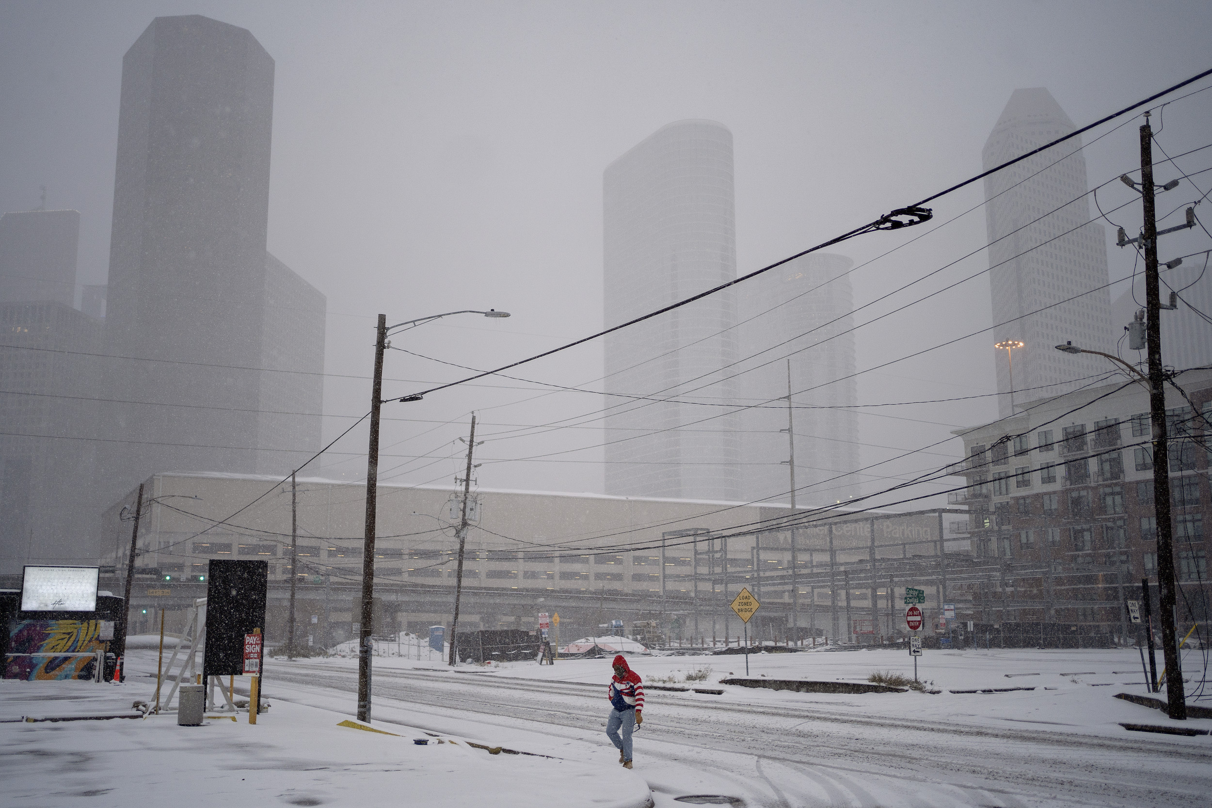
The National Weather Service (NWS) had winter weather warnings in place for 11 states early on Thursday, with up to 1 foot of snow forecast for some parts of the country.
Why It Matters
Snow can disrupt travel and lead to hazardous driving conditions. Winter storms can also trigger power outages.
Additionally, freezing temperatures may present health risks, especially for vulnerable groups such as infants and older adults.

Danielle Villasana/Getty Images
What To Know
Winter weather advisories were in effect in Colorado, Oregon, New York, New Jersey, Pennsylvania, Connecticut, and Massachusetts, while winter storm warnings were in place in New Mexico, California, and Montana, with a blizzard warning in effect in Alaska.
Areas affected included a pocket of Northern California, areas of western and northern New Mexico, Southwestern and Eastern Colorado, and a part of Southwest Oregon.
Western Montana was also affected, along with Northeast Pennsylvania, Northern New Jersey, and Southern New York.
While forecast snowfall varied from state to state, the NWS said it would be possible for up to 30 inches of snow in Colorado’s highest peaks.
In Alaska, the service warned that blizzard conditions could significantly reduce visibility, and that “dangerously” cold wind chills could cause frostbite on exposed skin.
For California, heavy snow was expected with total snow accumulations up to between 5 and 8 inches on portions of Highway 3 between Weaverville and Trinity
Center, with over 1 foot possible at Scott Mountain Pass, the service said.
What People Are Saying
NWS Albuquerque said on X, formerly Twitter, yesterday: “The band of heavy snowfall in northern NM [New Mexico] that has a history of producing thundersnow will continue its trek northward this evening. Expect rapidly changing road conditions if near Taos, Angel Fire, or Red River.”
NWS Boulder said on X yesterday: “Snow begins tonight. Highest amounts will depend on where the heavy snow bands set up in the morning. Pockets of freezing rain/slick conditions are possible for the NE [Nebraska] plains. Thursday morning commute will be difficult!”
NWS Eureka said on X: “A Winter Storm Warning is in effect for Northern Trinity County early Friday morning through early Friday afternoon. Total accumulations between 5 and 8 inches are possible on portions of Highway 3, with up to 1 foot possible at Scott Mountain Pass.”
What Happens Next
At the time this article was written, the latest winter weather advisories were in place until Monday.
The latest winter storm warning was in effect until Monday afternoon, while the latest blizzard warning was in place until noon Friday.
Forecasts are subject to change, with the NWS issuing updates regularly on its website.
Do you have a story we should be covering? Do you have any questions about this article? Contact [email protected]